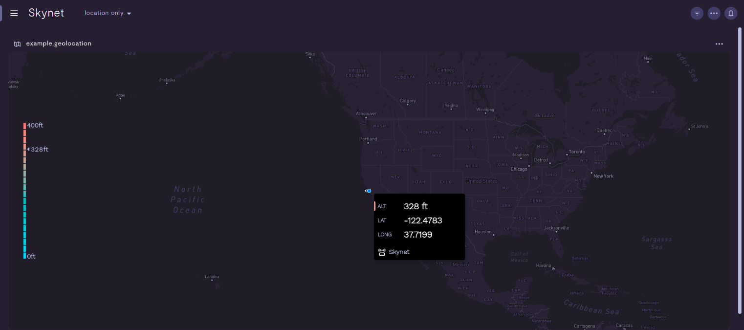
Orientation and Altitude
The Formant agent is able to collect data points that represent the altitude and orientation of a device. This data is collected from the 'Location' stream.
The altitude is measured in Meters (m), the orientation is measured in Radians (rotation). To use orientation in the map it is necessary to convert Radian to Degrees.
When plugging the orientation(degree) data point into the map we have to consider that 0° equals North and it increases clockwise making 90° equal East, 180° equal South, and 270° equal West.

In the far left of the example above we have created a key to measure in feet to display the altitude, which we had converted from meters. The orientation is shown by the beacon.
The code example is on our toolkit:
https://github.com/FormantIO/toolkit/tree/master/examples/altitude-on-map
Updated 3 months ago
